31.5 km, 5.75% average gradient, stretches of 11% + gradient, 1522 m ascent
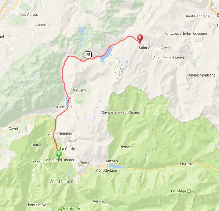
Route Map
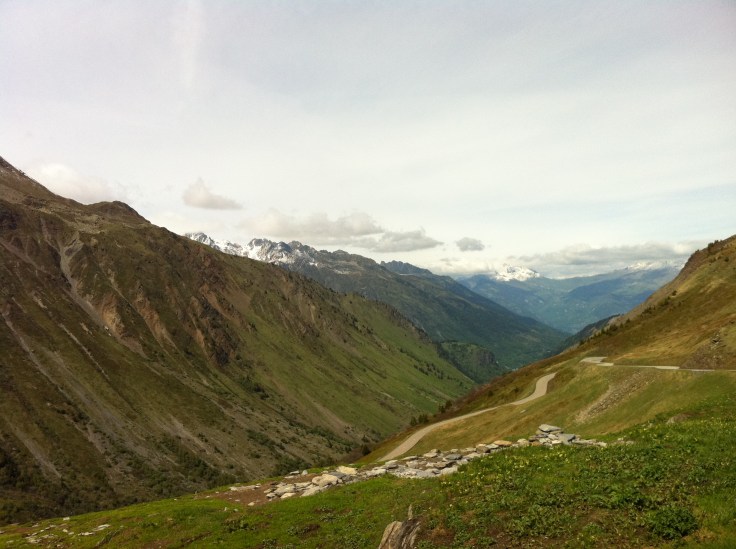
This is an accurate map of the route that we took. It is fairly simply to navigate from Bourg d’Oisans to the base of the Col de Fer. And then you climb, climb, climb!!!
Climb Profile

Trip Map
Julie’s Tips
Hotel – I recommend staying in Borg d’Oisans. This is a lovely little town, and it is feasible to cycle to the base of Croix de Fer, to the summit and back to town in one day.
Bikes – There are several bike shops right in the main town and it is quite easy to rent bikes upon arrival. With only two main streets, the town is very easy to navigate.
Important Notes – Make sure you take ample water and snacks with you when you climb Croix de Fer. Depending on the time of year, the restaurants along the climb may not be open. We were unable to complete the climb the first time we tried because we ran out of fuel. I think in April, and perhaps even in May, you cannot count on the restaurants and stores being open.
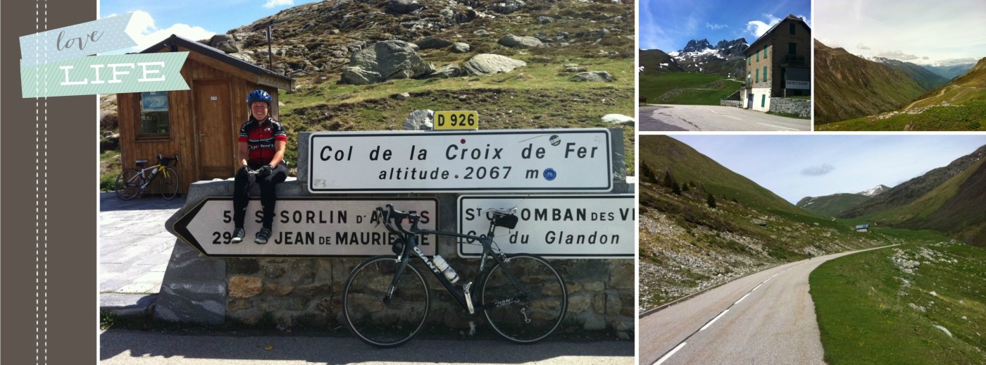
Believe in Yourself – This is a long climb, and you really are out in the middle of nowhere. When in doubt, take a deep breathe, and push on. Getting to the top of this climb is truly an amazing accomplishment, and an experience that you will never forget.
